Presentation by Dr. Guoping Huang
Thursday, July 28, 2016 - 12:00pm to 1:30pm
Slides for this talk: download in PDF
Abstract: 3D GIS data is quickly becoming popular. Drones and LiDAR scanners are widespread. Virtual Reality and Augmented Reality devices are everywhere. GIS users looking to embrace this trajectory are equipped with different programs. Each program caters some specific 3D applications very well. However, working across different programs is still not as straightforward as a user would expect.
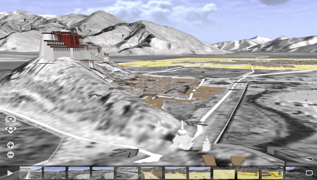
In this talk, I plan to focus on the technical side of 3D Interoperability across three programs: ArcGIS, SketchUp, and CityEngine. Examples from my Richmond riverfront viewshed project and Virtual Lhasa project will show the benefits of working with different programs.
Speaker Bio: Dr. Guoping Huang is an assistant professor of urban and environmental planning in the School of Architecture at University of Virginia. His research interests include digital visualization, geodesign and scenario-based environmental planning. He holds Doctor of Design from Harvard Graduate School of Design and M.S. in landscape planning from Peking University, China.
Lunch will be served.
no links
Files:
guoping_3d.png