Workshop report by Dave Strohschein
From June 13th to the 17th, I attended the “UAV Remote Sensing Applications (6th Edition)” workshop. The week long workshop was held in Moia, Spain, about an hour north of Barcelona. The event was presented by the BCN Drone Center and held at their office and test range. The Center is constructed into the side of a small ridge that lies at the center of a 2500 ha of segregated airspace that reaches to 4000 feet above sea level. The Drone Center runs almost completely on electricity generated from roof-top solar panels and a small (4 ft diameter) wind turbine. Additionally, water is collected from a bio-integrated collection system integrated into the roof. Building the Center into the side of a hill reduces the vertical signature of the structure and allows and unobstructed view for manually – controlled UAV flights. The overall location of the BCN Drone Center was selected after geospatial analysis that considered air space, access, population centers, and local topography.
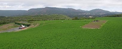
What is now known as the BCN Drone Center was started by Jordi Santacana in 2004. In addition to the runway and segregated airspace, the main building also has a twenty-five seat classroom with individual power outlets, wifi, and digital projection capability. The facility also houses a workshop for building and testing UAVs, a small kitchen, and a small sleeping area. These facilities not only provide an excellent learning environment, but they also provide the resources for testing UAV designs over an extended period of time.
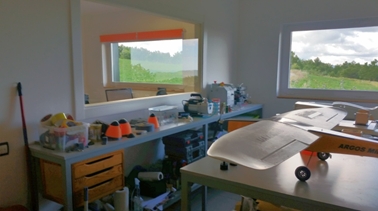

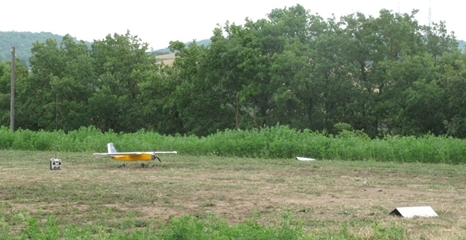
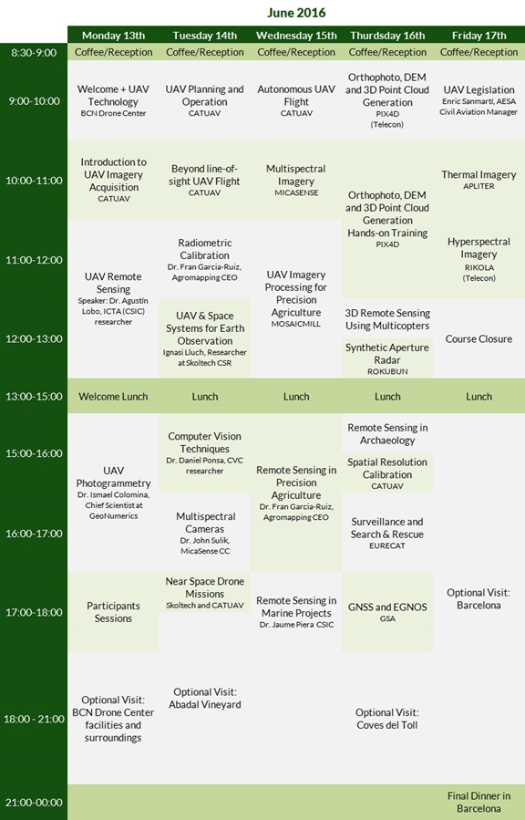
The workshop covered a wide range of topics, as indicated in the complete schedule (I have downloaded the presentations, if anyone is interested). Each day usually began with a presentation or class that provided the background or preparatory material in support of a following live demonstration flight, usually a fixed-wing or quadcopter UAV with an attached camera or sensor. The demonstrations took place immediately outside the BCN Drone Center or a few meters away at the UAV runway.
Then we were back in the classroom for an hour or two more of presentations. This was followed by a two-hour lunch break. (The Center is about 2km down a dirt road from town. So, we had a twenty minute ride to get to and from the restaurant at the hotel.) After lunch, we finished the day with two or three more presentations in the classroom.
The presentations were given by individuals from academia and industry. Topics ranged from fundamentals of photogrammetry and remote sensing, radiometric calibration of sensors, flight and mission planning, to presentations and demonstrations with multi-spectral and thermal cameras. In addition to the live demonstration of various UAVs and the integration of various sensors, we installed mission planning and image processing software on our personal computers. A collection of imagery files, collected across the spectrum from UAVs at the Center, were then distributed for our use both during and after the workshop (this data is available, if people are interested).
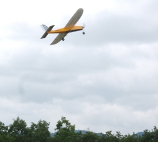
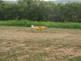
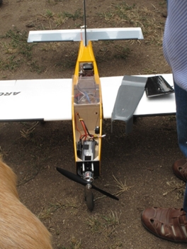
At the start of the workshop, my UAV experience was limited to flying quadcopters: the Phantom DJI-3 and the 3DR Solo. However, after a few of the demonstrations, I began to appreciate the benefits (and difficulty) of flying and managing sensor missions with fixed-wing UAVs. While there is considerable chatter about quadcopters in the U.S., I realized that not all missions are best addressed with rotorcraft. Depending on the task and the mission profile (including time aloft, payload weight, and vibration), fixed-wing aircraft may be the appropriate vehicle for data collection.
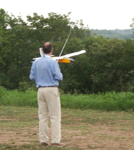
Another interesting bit of information about flying small UAVs in Spain is the ability to [legally] fly them beyond line of sight or autonomous mode. The Spanish UAV industry is more regulated [than the U.S.] to address this additional privilege; pilots must pass an operator certification course to fly. There are three types of certifications. Beginning with the easiest and increasing in difficulty, they are as follows:
- Multirotor
- Fixed-Wing
- Helicopter
Given the additional training time required to operate a fixed-wing UAV manually versus a multirotor UAV, the Center addresses this need by offers the following course: Fixed-Wing Drones Operation and Design.
Hmmmmm…looks like I might just have to return next year…
no links
no file attachments