CGA Newsletter July 2018 PDF (Download)
| HIGHLIGHTS |
| CGA NEWS |
Dr. Roland Wagner visited Harvard on June 26th and presented Technology Ages in IT and GeoIT for a CGA lunch seminar. Slides and Audio of the seminar available here. |
| HARVARD GIS COMMUNITY NEWS |
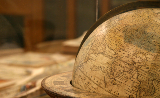
Harvard Map Collection celebrates it’s 200th Anniversary with a special exhibition, Follow the Map which opened on June 26th. A symposium to celebrate 200 years of the collection will be held on October 25th - 26th.
|
| CGA ASSOCIATE PUBLICATIONS |
“Association of Prenatal Exposure to Population-Wide Folic Acid Fortification With Altered Cerebral Cortex Maturation in Youths.” |
“Hypermap Registry: an open source, standards-based geospatial registry and search platform.” |
| CONFERENCES, CALLS & JOBS | |
Conference: Geospatial Artificial Intelligence: Machine Learning in Earth Sciences, will be a session of AGU 18, Washington D.C. See Session ID 50531, when applying.Deadline: Aug 1st, 2018 | |
Conference: As part of GIS-Pro & CalGIS 2018, in Palm Springs, California (October 9-12, 2018), URISA’s Vanguard Cabinet of Young Professionals is organizing Inspiring the Future of GIS. University students are encouraged to enter the Lightning Talks Competition Deadline: Aug 31st, 2018 | |
| NEWS ON GIS RESEARCH AND SERVICES | |||
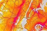 | 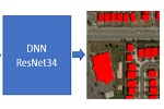 | 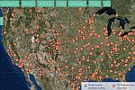 | 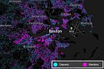 |
National Transportation Noise Map of the U.S. [USDOT & ESRI] 125 million Building Footprints with AI and Deep Learning [Microsoft] Seperados / TornApart map of ICE immigration facilities [Mobilized Humanities] Owners vs. Renters dot density map of the U.S.A. [Ryan McCullough] More on how the map was made here. Wayback – 81 Flavors of World Imagery [ESRI] EarthTime maps to visualize population movements and cities around the world. [BBC Video] Urban Data Pioneers are using data and maps to improve urban life in Tulsa. [CityLab] Deploying drones to map lava flows during volcanic eruption. [CRASNAR at Texas A&M] U.N. Economic and Social Council adopted a “Strategic Framework on Geospatial Information and Services for Disasters” on 2 July 2018. [United Nations] | |||
The CGA Newsletter is published monthly. Editor of this issue: Lex Berman. |
no links
no file attachments
