Download PDF SLIDES of the presentation
Speaker: Tina Cormier, Remote Sensing Scientist, Tellus Labs
Location: CGIS South S354 12pm to 1:30pm
Watch the presentation on Youtube
In this presentation, Tina Cormier, will explore vector GIS, raster processing, lidar data, and cartography with R, an open source software environment and programming language that is well-positioned to have an impact in the rapidly emerging field of geospatial data science.
Widely used among academics, scientists, and data science practitioners, R is a flexible platform for both statistical computing and beautiful, fully customizable graphics. A recent surge in the development of geospatial packages has enabled R to become a fully functional command line GIS as well.
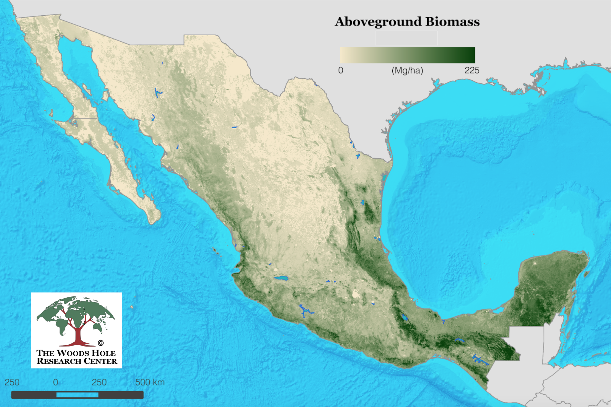
Taking a case study on forest biomass mapping, Cormier will demonstrate the utility of R methods across the full range of the research process.
Learn R for Spatial with Tina’s FOSS4G Workshop
 ;
;
no links
no file attachments