By Mansour Raad, BigData Advocate, Senior Software Architect, Esri
Noon - 1:30, Thursday September 21. Room K401, CGIS Knafel building, 1737 Cambridge St.
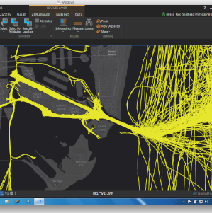
Abstract: Some say that BigData is about volume, velocity, variety. I say it is more about when the traditional means are failing you. In this talk, in-production examples of the usage of BigData in a geospatial context will be presented ranging from the Port or Rotterdam to Kuwait and spanning government and private industries like insurance, telecom, marketing. New BigData visualization techniques taking advantage of GPU will be discusses. And finally, with the reemergence of AI, we will talk about Geo.AI and its applications in newer ways for solve geospatial challenges with imagery and vector data.
Speaker Bio: With over 25 years of experience in the IT/GIS field, Mansour is the lead BigData Subject Matter Expert at Esri as a Cloudera certified Hadoop developer and HBase specialist. In this role, he often assists commercial and government customers in implementing BigData geospatial solutions. He has performed as team lead in architecting and implementing product solutions for ArcGIS. Mansour holds a Master’s degree in Aerospace Engineering from Boston University and frequently blogs on BigData topics and examples of geospatial implementations at thunderheadxpler.blogspot.com. Currently, he is an adjunct faculty member of John Hopkins University where he teaches an online advanced placement course on “BigData Analysis Tools and Techniques”.
Lunch will be served.
no links
Files:
mansour.png