Recent technological advances in remote sensing are moving terrestrial ecosystem monitoring beyond land cover change mapping, in the form of imaging spectrometry able to detect light intensity from tens to hundreds of contiguous spectral bands, providing more resolved information on ecosystem composition.
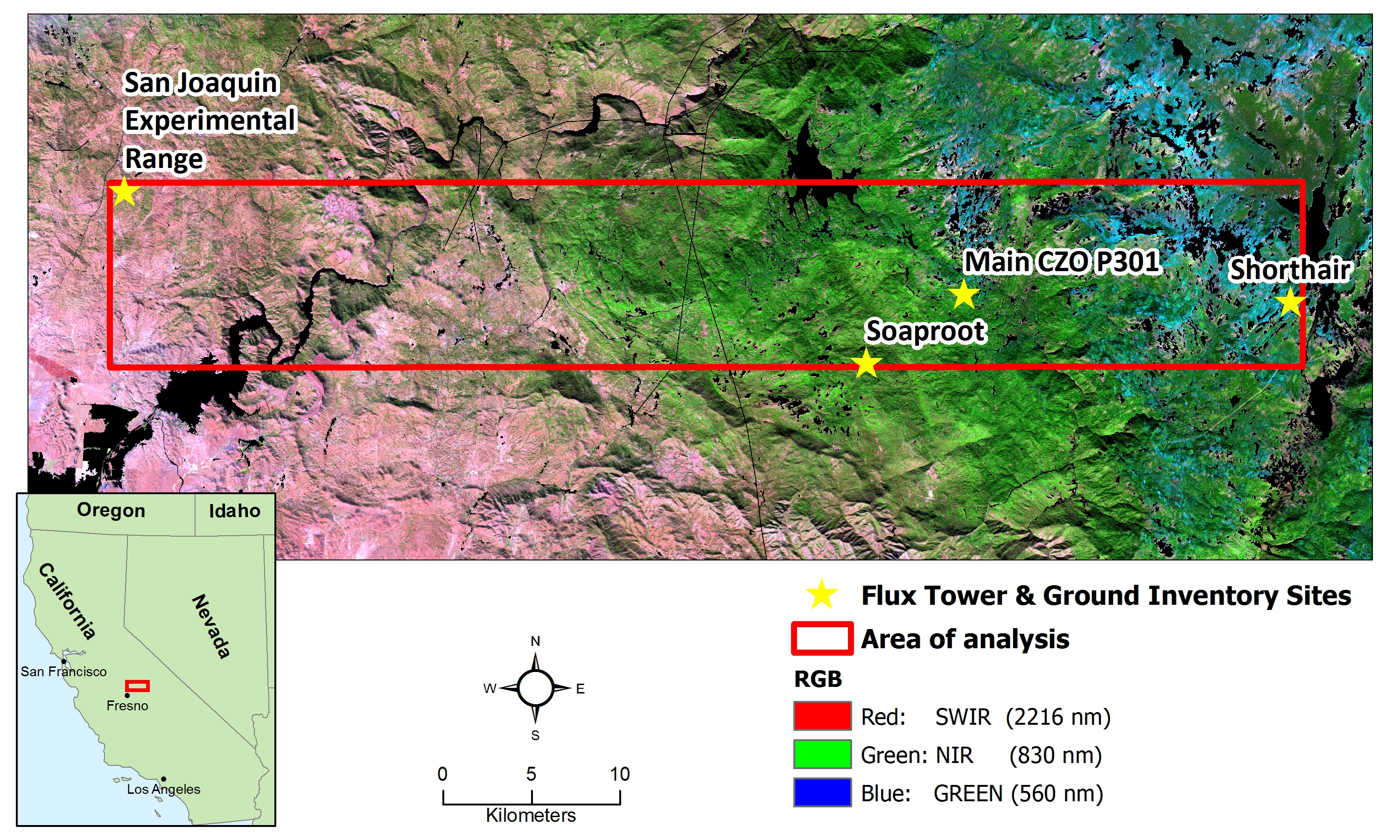
In this project, imaging spectrometry was used to provide spatially-comprehensive measurements of plant functional type (PFT) composition in an 710km2 area in the Southern Sierra Mountains of California. AVIRIS (Airborne Visible Infrared Imaging Spectrometer) data (18 meter resolution) from the recent HyspIRI Preparatory Mission (Hyperspectral InfraRed Imager) were used to estimate the sub-pixel fractions of seven PFTs: Grass, Shrub, Oak, Western Hardwood, Western Pine, Cedar/Fir, and High-elevation Pine, with Multiple Endmember Spectral Mixture Analysis (MESMA).
Links:
Moorcroft Lab
Files:
studyarea.jpg