Speakers:
René Westerholt, Institute of Geography, Heidelberg University
Guibo Sun, Faculty of Architecture, The University of Hong Kong
Location: Room S354, CGIS South building.
Downloads: Talk abstracts | Part 1 slides | Part 2 slides
Part 1: René Westerholt will examine the role of topological outliers in the spatial analysis of georeferenced social media data. This talk focuses on the role of topology in spatial analysis of Twitter data, using measures of autocovariance to demonstrate how topological outliers may lead to unexpected results. We reveal that these outliers introduce artificial spatial processes into the analysis, and therefore alter the interpretations of assessed spatial patterns. Also analysed is the impact of scale differences between overlapping patterns on statistical results.
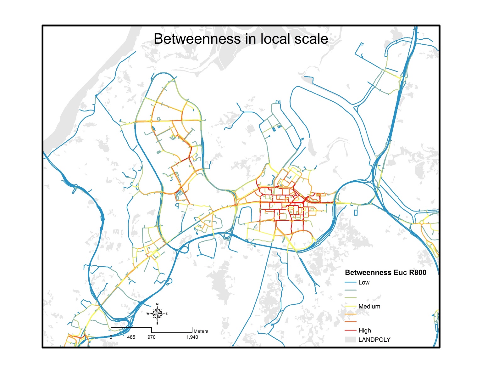
Part 2: Guibo Sun presents on the built environment of high density cities, which is widely known for being geographically heterogeneous, but there are few studies on the uncertainty in measuring these high density built environments. This case study looks at Hong Kong,
which is a typical high density city. Geocoded home addresses from a health study are extracted to model the exposed built environments of the subjects. Measures of land use patterns, transportation and urban design across six spatial scales are then constructed using an international built environment framework. Finally, a geographic information system (GIS) is used to map the variability of the built environment. This study revealed extreme variations and uncertainty for 180 measures of the high density built environment using comprehensive data and advanced GIS modeling techniques. These results highlight the implications for selecting proper methods and spatial scales of the measures based on the results.
no links
Files:
rene_6apr17.png