Link to VIDEO Presentation
Presenters: Jeff Ferzoco and Andy Eschbacher
Room S354, CGIS South, 1730 Cambridge St.
This presentation is a hands on introduction to the online GIS software CARTO. Bring your laptop to follow along!
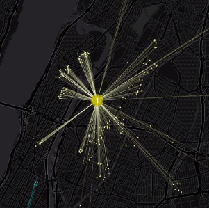
CARTO (formerly CartoDB) is software that provides GIS and web mapping tools. The CGA has recently purchased CARTO, and it is available for any Harvard affiliate to use. For those interested in learning more about CARTO and to practice using it, this workshop will cover:
- What CARTO is and how to use it
- Account creation
- Basic map creation
- CARTO Builder location intelligence
- CARTO Editor
Lunch will be served.
no links
Files:
carto_image.png