By Dr. Guoping Huang
Room S030, CGIS South Building (1730 Cambridge St.)
View the recorded presentation.
View the slides.
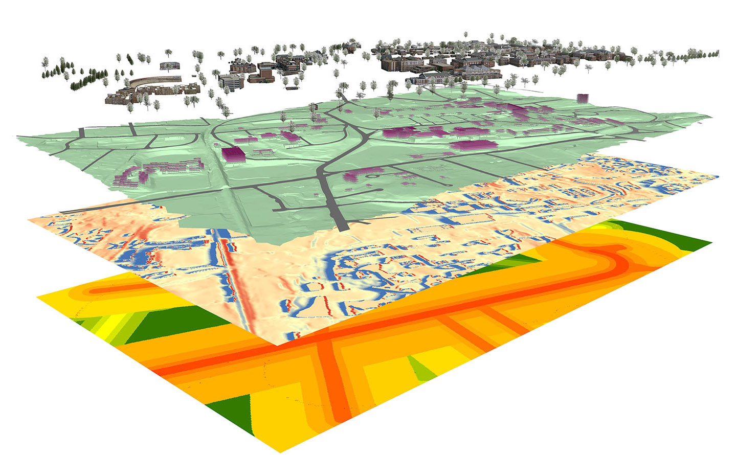
Abstract: The explosive growth of geographic information systems and geo-spatial tools has presented challenges and opportunities to the design profession. Procedural modeling techniques can quickly produce city- or landscape-scale virtual 3D models. Analytical tools make scientific knowledge more accessible for design simulation and evaluation. The general public is greatly empowered thanks to the popularity of mobile devices, crowd-sourcing techniques, and web-based visualization platforms. In this talk, Dr. Huang will discuss how some important connections between data, design and the public can be established by the adoption of geo-spatial technology in the design workflow.
Speaker Bio: Dr. Guoping Huang is an assistant professor of urban and environmental planning in the School of Architecture at University of Virginia. His research interests include digital visualization, geodesign and scenario-based environmental planning. He holds Doctor of Design from Harvard Graduate School of Design and M.S. in landscape planning from Peking University, China.
Lunch will be served.
no links
Files:
geodesign.jpg