Noon - 1:00 p.m., Thursday 2/25, Room S030, CGIS South Building (1730 Cambridge St.)
View a recording of the presentation.
Dowload PDF presentation slides.
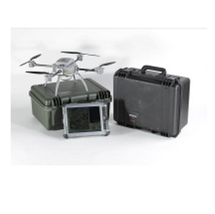
Abstract: This talk will be about the current state of low-cost, civilian drone mapping, drawing from Faine Greenwood’s experiences as a hobby drone pilot. Greenwood will describe how drones can be used to create ortho-rectified, high-quality maps and 3D models quickly and inexpensively.
Bio: Faine Greenwood is a research assistant at the Signal Program at the Harvard Humanitarian Initiative, specializing in the use of UAV (drone) technology in humanitarian situations. Prior to joining HHI, Greenwood worked as a field analyst at New America in Washington DC, co-authoring “Drones and Aerial Observation,” a primer to civilian UAV technology. Greenwood is a graduate of Stanford University and Tulane University, and an avid hobby drone photographer and map-maker in her spare time.
no links
Files:
drone.png