Muriel Lavy (1987) graduated from the Protection of the Territory Engineering at the Polytechnic of Turin in 2012. In 2013 she started her Ph.D. working in the research field of geospatial analysis. In the meantime, she is collaborating with the Ise-Net, a spin-off of the same University.
Location: K050, CGIS Knafel building, 1737 Cambridge St.
Abstract: This discussion will present the research carried out on an experimental test site located in the Mascognaz Valley, a mountain basin in the north-west of Italy. Thanks to a collaboration between university, spin-off and local government, this site became a scientific laboratory “open air”. Here we tested the use of terrestrial laser scanner, drone survey, photogrammetry, combined with data acquired by an experimental meteorological station and springs monitoring. Data processing and spatial analysis, realized through GIS techniques, help improving water management and natural hazard prevention.
Lunch will be served.
Slides (PDF) [17MB]
no links
Files:
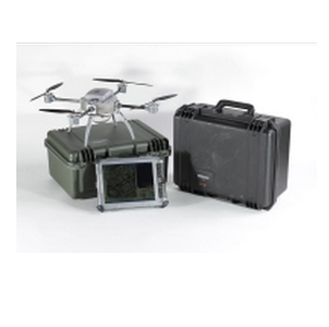
drone.png