Thursday, April 30th, 1:30pm - 5:00pm. Belfer Case Study Room, CGIS South building.
Friday, May 1st, 9:00am - 5:00pm. Tsai Auditorium, CGIS South building.
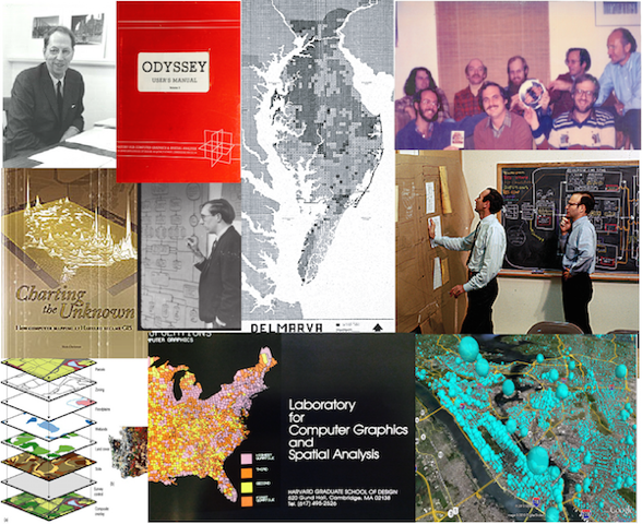
1965 was a seminal year in the history of GIS, as the Harvard Laboratory for Computer Graphics (subsequently Computer Graphics and Spatial Analysis, LCGSA ) embarked on a 20+ year journey of research and development in theoretical geography, computer cartography, spatial analysis, and environmental design, which gave us many of today’s essential ideas and early versions of tools now embedded in GIS, remote sensing, geospatial science, geodesign, and online culture.
Celebrate this 50th anniversary – along with the 10th birthday of the CGA itself! – with special presentations from original participants from those heady days, from the Graduate School of Design and other parts of Harvard, as well as GIS scholars and researchers from around the world, looking back to those early days of “the Lab”, and tracing its legacy of seminal developments into the present and on into the future.
Conference Flyer (Click to Download)
Conference Program (Click to Download)
Conference Videos (watch online at Vimeo or download the high-resolution MP4 videos)
Day 1 - April 30th, 2015
- 1:30 pm - 3:15 pm: Welcome & Introduction; Recollections Watch Online | Download
- 3:30 pm - 5:00 pm: Recollections - Opening Discussion on The Lab Watch Online | Download
Day 2 - May 1st, 2015
- 9:00 am - 11:00 am: Reflections Watch Online | Download
- 11:15 am - 12:00 pm: Projections - The Lab & Geography Watch Online | Download
- 1:15 pm - 2:45 pm: Projections - Panel II: Legacies Watch Online | Download
- 3:00 pm - 5:00 pm: Transformations; Closing Remarks Watch Online| Download
As part of the conference there will be a poster exhibit from 12 - 1:00 on Friday, May 1st. Harvard students wishing to submit a poster should do so through the Fisher Prize Submission Form. Non Harvard students wishing to display a poster should contact poster exhibit coordinator Jeff Blossom for details on uploading your poster.
Coinccide with the conference are two exhibitions at the Graduate School of Design (GSD), Frances Loeb Library:
- From Drones to Data Portals and Maps: A Brief History of GIS at Harvard Library, April 13 – June 30, 2015, Library Bibliography Wall
- “The Lab” and its Legacy, April 9 - May 15, 2015, Special Collections
One of the artifacts in the 2nd exhibition is the Hexagonia - An analog finite-state display panel that visualizes a central place system (a hexagonal hierarchy of cities) using 327 oscillating neon lamps, created by Geoffrey Dutton, LCGSA Research Assistant in 1969). More information are available at spatial-effects.com/hexagonia:
- hexagonia.pdf - project description (illustrated)
- hexagonia-slides-final.ppsx - Powerpoint show with audio based on the description
- hexagonia-the-movie.mp4 - Eight-minute movie based on the slide show (streaming or downloadable)
no links
no file attachments