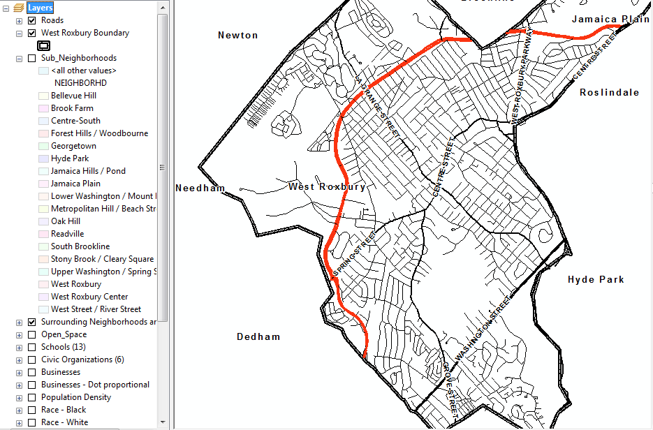
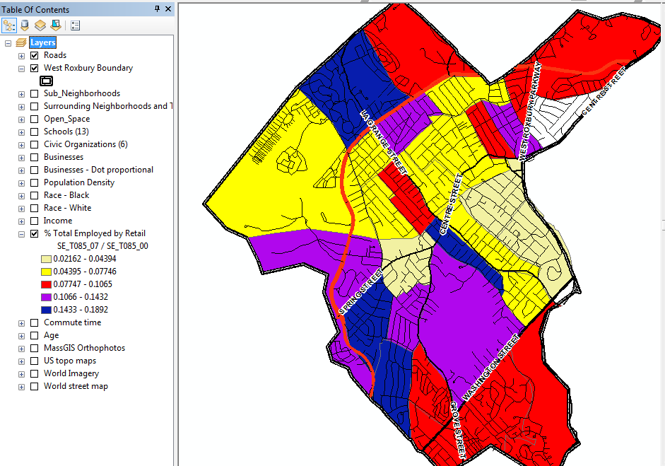
A GIS containing 20 layers and thematic maps was put together and delivered to the researcher. Datasets included school, open space, and business locations, and income, % population employed by retail, and commute time thematic maps.
no links
A GIS containing 20 layers and thematic maps was put together and delivered to the researcher. Datasets included school, open space, and business locations, and income, % population employed by retail, and commute time thematic maps.
no links