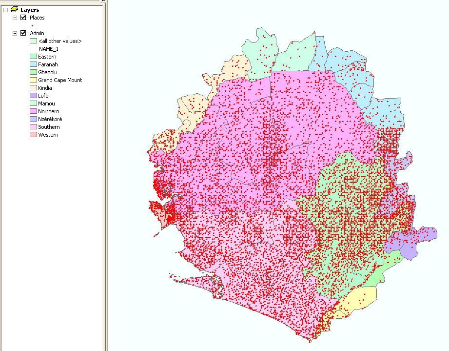
Training on how to use ArcPad with a GPS was given, and a dataset containing places and administrative boundaries for Sierra Leone was assembled.
no links
Files:
sl1.png
Training on how to use ArcPad with a GPS was given, and a dataset containing places and administrative boundaries for Sierra Leone was assembled.
no links
Files:
sl1.png