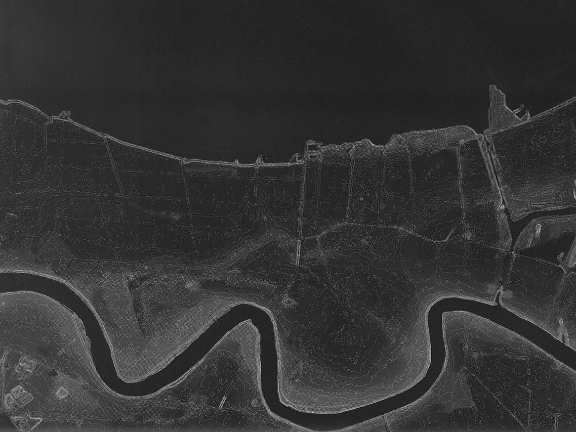
This project calculated average water depth by zip code zone for New Orleans right after Katrina.
Input data set was a table of LiDAR points with geographic coordinates and water depths. The technical challenge was the number of points to process - more than 26 million points for 37 zip code zones in 535 square miles.
The normal spatial statistics method would fail due to prolonged computing time. The work-around was to break the points by zones and calculate statistics per zone.
no links
Files:
neworleans_11.jpg