CSCI E-8 - Web GIS - Technologies and Applications

Web GIS, as the combination of the web and GIS (Geographic Information Systems), is a new and promising field. It has unlocked the power of GIS, and put online maps and geospatial intelligence in the offices of millions and the hands of billions. This course aims to provide students with the essential web GIS knowledge needed for managing web GIS projects, teach students the latest web GIS technologies needed for building modern web GIS apps, and inspire students with real world application case studies. This course focuses on Esri’s web GIS platform, the most widely used GIS technology in government and business information systems. Products taught in this course include ArcGIS Online, ArcGIS Enterprise, ArcGIS Pro, ArcGIS web, and mobile apps including Story Maps, Web AppBuilder, Collector, Survey123, AppStudio, Operations Dashboard, Insights, Drone2Map, ArcGIS Earth, and 3D web scenes. ArcGIS API for JavaScript, internet of things, GeoEvent Server, big data, and GeoAnalytics Server are also introduced. Access to Harvard ArcGIS Online, ArcGIS Enterprise, and other ArcGIS software is provided.     See Course Catalog Listing

no links

no file attachments

Share

GOV 94DN - Mapping Social and Environmental Space

This seminar will use mapping as a methodological technique to examine social and environmental issues. Students will be expected to use mapping software to examine spatial data for a location and topic of their choice for their final paper. Weekly discussions will be conducted in class on various mapping related topics. References will range from books like “How to lie with Maps” to current journal articles examining the use of GIS in social science.

See Course Catalog Listing

no links

no file attachments

Share

December 2017

CGA NEWS


Illuminating Space and Time in Data Science will be the CGA Annual Conference, to be held April 26th and April 27th, 2018.   For more information and to Register please visit our conference webpage


Both the 2018 Fisher Prize for excellence in GIS and the ESRI EDC Student of the Year Award are open for applications from Harvard students.

Read more about applying for both prizes.


 CGA’s Monthly GIS Presentations - come join the discussion


CGA FACULTY AFFILIATE PUBLICATIONS

“The Space Between Us”.
Author: Ryan Enos (Harvard, Dept of Government).
Published by: Cambridge University Press (October 2017)
Description and Table of Contents


HARVARD GIS COMMUNITY NEWS

Map of the Month Winner for November 2017 is the Kansas City Digital Inclusion Map by the data team of the Kansas City and Chris Crosby of Xaqt. This contest is sponsored by Harvard Kennedy School’s Ash Center for Democratic Governance and Innovation. Contest Info


CGA Director Jason Ur presented Drones and Archeology Case Studies during Day 2 of the ESRI Imagery Education Summit, held in Redlands, CA, Nov 9th - 10th, 2017. An overview of the Two Day conference with photos and links to materials is available on Storify: DAY ONE - DAY TWO


CONFERENCES, CALLS & JOBS

Job: Wentworth Institute of Technology is seeking an adjunct Instructor to teach Geographic Information Systems (GIS) during the spring 2018 term (January through April 2018) to graduate architecture students.. Open until filled Read more

Scholarship: 2018 NEGIS Scholarship provides monetary support to qualified students who have secured a GIS internship. Application Deadline is January 8th Read more

CFP: Call for presentations in the GIScience research sessions at ESRI User Conference 2018 to be held at the Esri International Users Conference, July 9-13, 2018, San Diego, California. Application Deadline: December 15th. Read more


The CGA Newsletter is published monthly. Editor of this issue: Lex Berman.

no links

no file attachments

Share

ENVR E-118b - Sustainable Tourism, Regional Planning, and Geodesign

This course introduces the basic principles of tourism master planning, enabling students to learn how communities, governments, business, and civil society can take a more inclusive and sustainable approach to planning tourism destinations worldwide. Students learn to present quantitative and qualitative economic, sociocultural, and environmental data, to determine the best management of vital natural and social resources, and to build scenarios that include the impacts of climate change, including approaches to mitigation and adaptation, over the next 20-30 years. A live interactive session is held using interactive geodesign methods to address key decisions in the process of design for tourism growth. Students participate in applying digital tools and analyses to a specific case. Each student generates scenarios and learns how to manage these scenarios through new approaches to governance.

Prerequisites: Basic familiarity with spreadsheet software required. Course work in GIS from such organizations as ESRI or ISMT E-150 would enhance the course experience. However, the course is designed for all levels, and allows students to move through the course according to their own capacity. Individuals who are working on tourism planning are encouraged to bring their existing planning documents to the course for review and to build upon them for their final project.

To register please click here.

no links

no file attachments

Share

Sociology 219 GIS Workshop

Introduction to GIS workshop for students of Transnational Historical Sociology (Sociology 219)

Jan. 12, 2018


9:30 – 9:45 – Introductions, tour the CGA

9:45 – 10:30 – Presentation: GIS Basics and the CGA

10:30 – Noon – Create a general reference map with QGIS.  Explore some “Imperiia GIS” data.

Noon – 12:30 – Discussion


Download Workshop Material

no links

no file attachments

Share

Drone Imagery In ArcGIS

Speaker:    Cody Benkelman, Technical Product Manager for Imagery at ESRI, will be at Harvard to present this workshop on tools and techniques for working with imagery from drones (but applicable to other sources) within ArcGIS. Download Agenda

ESRI

Cody will discuss specific tools for working with imagery, and provide advice and best practices regarding using and managing imagery within ArcGIS.  This presentation will be valuable to GIS users trying to integrate imagery data from a variety of sensors and sources into their spatial analysis, models, and workflows.

Cody will introduce and demonstrate several ESRI imagery tools and allocate time for interactive question and answer sessions on a range of topics as guided by the attendees.

Specific tools to be demonstrated and discussed are

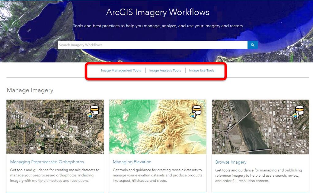
  • Drone2Map (http://esri.com/drone2map) for processing of overlapping still frames to generate orthorectified mosaics, digital surface models, and 3D textured meshes and point clouds.
  • Full Motion Video (http://esri.com/FMV) for working with georeferenced video.

Introductory material related to these products are relatively easy to review via the web.  As much as possible, Cody would like to encourage attendees to learn about Drone2Map and FMV in advance of the workshop, so he can focus on more advanced discussions of workflows/best practices. 

Other topics related to imagery and drones may also be addressed:

Higher level topic


Details

Data Management (architecture, maintenance, cloud storage)


Can include imagery processed using Pix4D, Agisoft Photoscan, and other similar tools

Serving imagery


ArcGIS Online vs. ArcGIS Image Server

Web Clients for accessing imagery


Default web map in ArcGIS Online; Application Templates including Story Maps


Web AppBuilder with image service add-ins

Cody invites your feedback on these topics prior to the workshop, or in discussions during the workshop.

If possible, please review this recording from last spring (http://chgis.fas.harvard.edu/drone/THURSDAY/THU_PM_Esri_Cody.mp4 and note the following resources are available at any time: 

Drone2Map: 

FMV: 

Cody would like to encourage attendees to send questions to him in advance at cbenkelman@esri.com, and this will help to focus our in-person discussions.  He also requested any available sample data from workshop attendees, to provide his expertise for how to work most effectively with our data. 

One note in particular, with regard to video, is that FMV was designed to support professional/military format video with location & orientation metadata embedded in the video stream (in MISB format – see http://www.gwg.nga.mil/misb/zip_pubs.html ).  Since this is not applicable to most drones, Esri has created a geoprocessing tool (the “Video Multiplexer”) to add metadata into drone video, and this is one specific tool that Cody will review.
 

Links:
Drone2Map_1.3.zip
FMV.zip
ArcGIS_Pro_2.1.zip
WebAppbuilder+ImageWidgets.zip

no file attachments

Share

Esri Business Analyst Data

Esri Business Analyst Data Package for the United Stated is accessible to Harvard affiliates only. The CGA has the Business Analyst Data Package published from year 2006-2017, which includes Demographic Data, Business Data, Major Shopping Centers, Consumer Spending, Segmentation Data, and Street Data. To know more about this data package, please click here.

Please fill out the request form below to access the data, and make sure you choose” Require Access to : Esri Business Analyst Data” from the picklist, and specify the data types and years (!!!)

Esri Business Analyst Data Request form

no links

no file attachments

Share

UK Open Data Portal

The Business and Local Government Data Research Centre  (United Kingdom) provides a framework and support for data owners and researchers. We help researchers, local authorities and businesses to explore data, enhance knowledge and empower their communities. The Centre provides a range of services and academic expertise from the universities of East Anglia, Essex, Kent and LSE to help analysts and researchers use data more effectively.

The Data Portal lists data sets which are currently held by the Centre for the purposes of research which has the potential to benefit society. Open data sources can be downloaded instantly

Links:
UK Open Data Portal

no file attachments

Share

Open Source QGIS - Spring 2018

An introduction to QGIS for beginners, this workshop will cover the basic methods for opening various data formats, dealing with projections, joining tabular data to vector GIS layers, symbolization, and exporting data. No previous knowledge of GIS or statistics is required.   

See related online QGIS Workshop website.

no links

no file attachments

Share

Worldmap Introduction - Spring 2018

The Center for Geographic Analysis is developing WorldMap (http://worldmap.harvard.edu/), an open source platform designed to encourage collaboration between researchers who need access to geospatial information. Despite the many ways in which research materials can now be accessed and shared across the web, the methods suitable for geospatial materials lag. The reasons are many and interconnected: 1) the sparse implementation of standards, 2) the size and complexity of geospatial datasets, 3) the lack of a platform to support geospatial collaboration that is easy to access, 4) the lack of an incentive for researchers to upload geospatial datasets to a system that supports eventual sharing. WorldMap attempts to address all of these problems. Participants will learn about how WorldMap works and how to use it to become an accomplished online map maker.

no links

no file attachments

Share