Location: Belfer Case Study Room, CGIS South S020
Date: Sept 18th, 2017 5:00pm - 7:00pm
Click here to watch the recorded presentation.
For thousands of years, tracking animals has meant following their physical traces – footprints, fallen feathers and nests. But cutting-edge geospatial technology is revolutionising our ability to map their movements and behaviour.
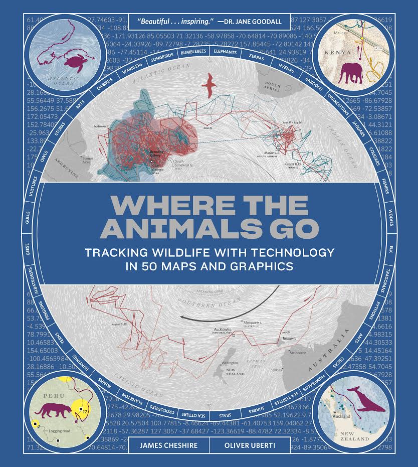
GIScientist James Cheshire and designer Oliver Uberti discuss the creative and technical processes behind their efforts with scientists and wildlife experts around the world to collate billions of data points, from tracking elephants to counting penguins, and bring them to life visually in their new book entitled Where the Animals Go.
Presenter Bios
Dr. James Cheshire is a geographer with a passion for mapping data. He is an Associate Professor at University College London, and recently received the Royal Geographical Society’s Cuthbert Peek award for ‘advancing geographical knowledge through the use of mappable Big Data’.
Oliver Uberti is a visual journalist, designer, and the recipient of many awards for his information graphics and art direction. From 2003 to 2012 he worked in the design department of National Geographic, most recently as Senior Design Editor.
Agenda:
5:00 – 6:30 Presentation, followed by Q/A and discussion.
6:30 – 7:00 Book signing and light refreshments served in room S030.

no links
Files:
where_the_animals_go.png