Modern India
- Harvard Geospatial Library maintains licenses to India Adminstrative Boundaries datasets for several years (including 1951, 1961, 1971, 1981, 1991, 2001, 2011). These are available to Harvard affiliates for research purposes. Please contact the Harvard Map Collection, if you are unable to obtain the data throug the HGL website.
Breakdown of India Datasets licensed by Harvard Map Collection for use by Harvard affiliates:
2014: Geopostcodes 2011: District profiles: Includes three different data sets: District profile map of India includes 1 layer of country-wide District boundaries with related socio-economic and demographic data ; Block map of India includes 2 layers of country-wide Block boundaries with related Primary Census Abstract (PCA) data ; Village Map India, 2011 includes layers with boundaries of villages for 7 Districts of India with demographic, socio-economic, and household data. Subdistrict boundaries linked to PCA data Towns linked to PCA Village polygons linked to PCA City Ward polygons with some census data for Bangalore, Chennai, Delhi, Hyderabad, Kolkata, Mumbai Assembly boundaries 2010 Electoral data – Bihar 2008 Soils (national) 1986-2004 - Parliamentary boundaries & electoral data - Assembly boundaries and electoral data 2001 - Village points with socio-economic data - Town polygons “ ” - Subdistricts “ ” - States “ ” 1971 Boundaries of all Parliamentary (Lok Sabha) constituencies linked to Election Data of 1971 1951, 1961, 1971, 1981, 1991, District level census data |
- GADM provides administrative boundaries for India at the ADM0 (nation), ADM1 (states), ADM2 (districts, zilā), ADM3 (sub-divisions). The GADM does not provide historical versions, nor any particular source information. Be careful to examine the GADM to see if it will suit your purposes.
- Indian Village Boundaries are available from a volunteer created project called Data{Meet}. Since this is an open source project, we have not been able to evaluate the accuracy or completeness of the village data, which is available in GeoJSON format. (Note GeoJSON can easily be converted into Shapefiles, using GDAL commands or in QGIS.
India Administrative Atlas 1872-2001 provides details on the changes of adminstrative boundaries. See Record in Stanford Univ Library.
India Air Pollution Data
In addition to some data being collected at CGA, see the following data sources
(provided by Kat Nicholson, also downloadable in detailed Excel Spreadsheet).
Central Pollution Control Board, Ministry of Environment Link Central Pollution Control Board, MOE, Historical Ambient AQI Link World AQI Project Link Delhi Pollution Control Committee Link EPoD India - Air Pollution and Health Project Link |
Webmaps and Webservices
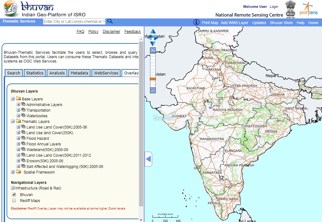
Bhuvan Indian Geo-Platform of the Indian Space Research Organization (ISRO). Provides a rich platform of Land Use, Flood Hazards, Admin Divisions, Transportation, Waterbodies, and many other layers. These can be browsed and queried online, or connected to as WMS layers.
Water Resources of India provides a webmap of many useful layers such as watersheds, river basins, aquifers, groundwater depth, soil productivity, etc. This map makes use of data published by the Water Resources Information System of the Central Water Commission. Read more details.
Open Government Data provides several WMS services.
MapMyIndia Geocoding services from eLOC India include location codes and web APIs.
no links
no file attachments